Reclassifying Landcover Maps in R
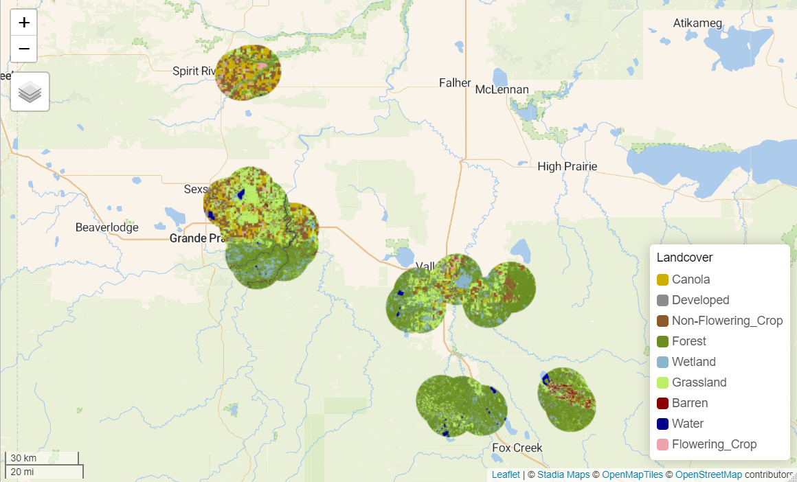
This is an example showing how to reclassify and visualize crop inventory maps downloaded from Agriculture and Agrifood Canada using terra and tmap in R.
If you want to work through this project on your own, you can check it out on my Github or read through it here.